
UAV 3D Mapping & Modelling
Drone 3D Mapping and Modelling for land surveying and construction
What is 3D Mapping & Modelling With Drones?
Think of 3D mapping and modelling as creating a life-like, digital twin of the world around us.
Using advanced technology like photogrammetry, 3D modelling turns images into interactive models.
The result?
A detailed digital copy that lets you explore, measure, and analyse spaces remotely, this is a game changer if you’re in the construction, real estate or environmental research industry.
Why Choose Us
We combine precision technology with exclusive operational approvals to deliver top-tier 3D mapping and modelling services. Using advanced RTK-enabled drones, we capture highly accurate, detailed data to support projects of any scale.
Our cutting-edge equipment and RTK technology ensures centimetre-level accuracy, that reveals the finest site details. Combined with our CAA operational approvals and professional photogrammetry processing, we deliver precise digital twins, volumetric calculations, and terrain models in formats compatible with your CAD and any other softwares.
Why drones are perfect for 3D mapping

Quick & Effecient
Drones can zip over any terrain, covering huge areas in a fraction of the time it would take on foot.

Cost Saving
Forget the heavy gear and pricey tools, drones deliver precise data without breaking the bank.

Detailed & Precise
High-resolution cameras and laser sensors mean drones capture stunningly accurate details.

The Safest Solution
Drones keep people out of risky spots, making it a much safer choice for everyone involved.
How it works
We use drones equipped with Real-Time Kinematic (RTK) for incredibly precise 3D & 2D mapping.
RTK is a powerful GPS enhancement that takes positioning accuracy to the next level, reaching centimetre-level precision.
The Process
With RTK we program the drone’s flight path to capture loads of high-quality images, covering every angle of the area.
This collection of images is then processed in a technique called Photogrammetry, which stitches them into super detailed 2D maps and 3D models.
This creates accurate, scalable maps that can be exported in versatile formats, including CAD drawings, making it ideal if you work for an industry that needs reliable, high-precision visuals.
How you industry can benefit from 3D mapping & modelling
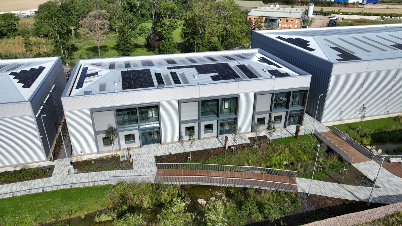
Construction
Drones streamline construction by creating precise 3D maps for site planning and monitoring progress.
Teams can track developments in real time, measure stockpiles, and ensure projects stay on schedule, all while providing stakeholders with interactive, up-to-date models.
Real Estate
3D drone mapping adds a new dimension to property viewing, allowing potential buyers to explore layouts and surroundings from all angles.
For large developments, it showcases the property’s context within the landscape, helping investors visualise the project’s progress and value
Environmental Research
Drones help researchers track environmental changes with minimal disruption.
By capturing accurate, real-time data on erosion, forest density, or wetland health, drones aid conservation efforts and disaster response.
Agriculture
Drone mapping revolutionises farm management by providing detailed insights into crop health and land usage.
Farmers can monitor crop growth patterns, identify irrigation issues, and optimise resource distribution through precise elevation models and vegetation analysis.
So what are you waiting for?
LET'S HAVE A CHATWe're happy to help
BlueSky UAV are based just outside of Norwich, in the small Norfolk village of Southrepps. If you have any questions about our services, please get in touch and discover how BlueSky UAV can benefit your business, we’d love to hear from you.
Visit us
Poppy House
Clipped Hedge Lane
Southrepps
Norfolk NR11 8NS
Contact us
M: 07798 533 264
Mail: james@blueskyuav.co.uk